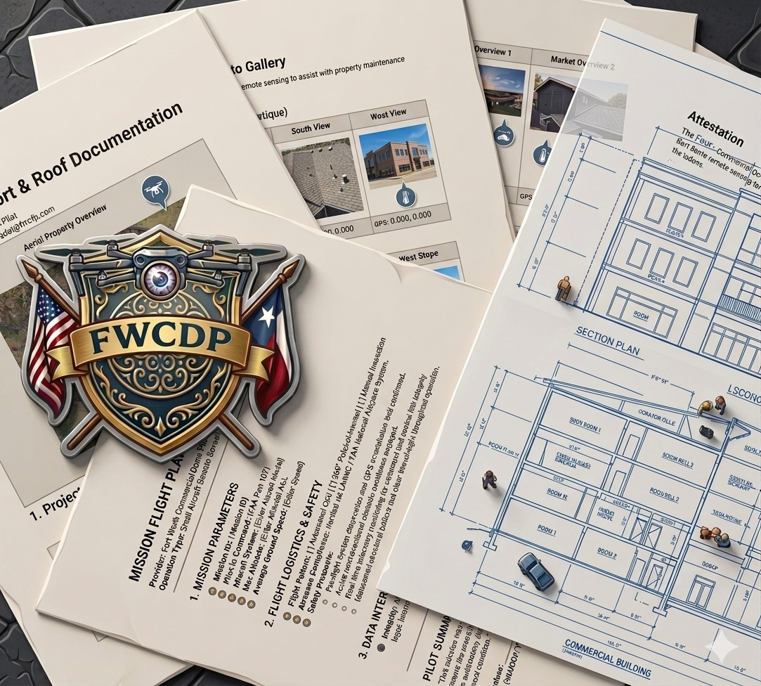
Drone Roof Documentation & Insurance Data
Adjuster Support: Our documentation helps property owners and adjusters reach fair conclusions based on objective data.
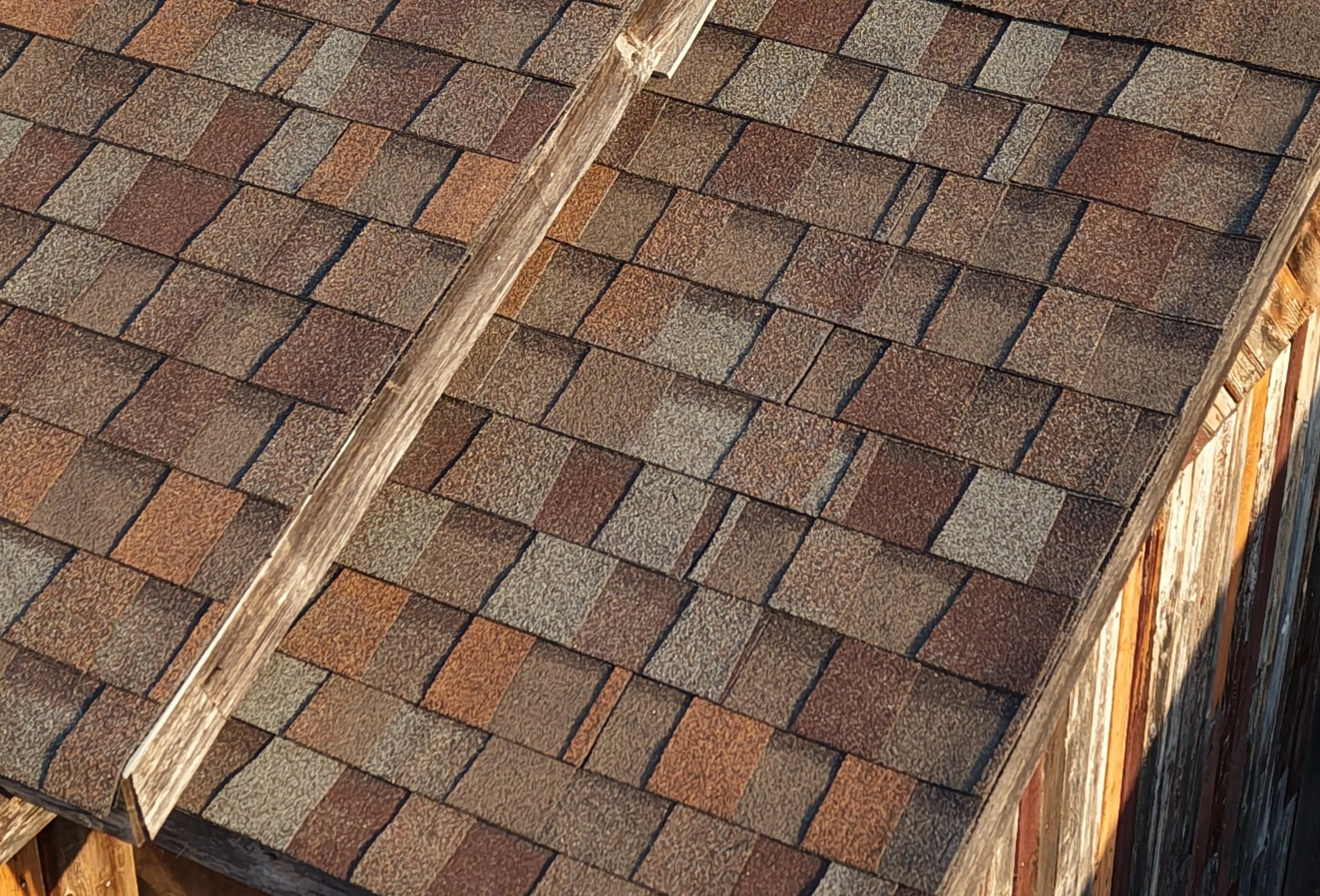
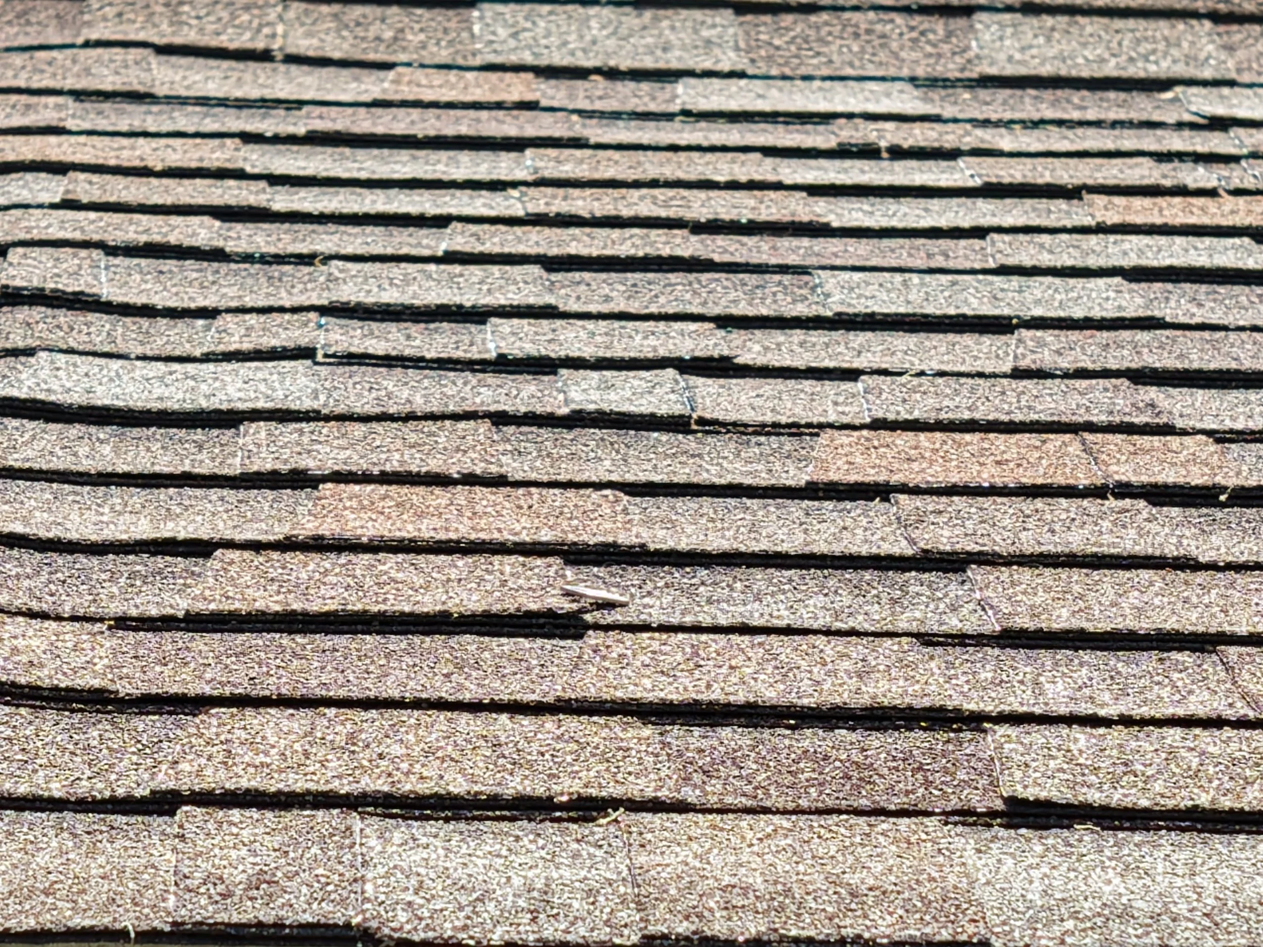
Storm Damage Verification: We identify hail hits and wind damage with precision without ever walking the roof. Providing GPS verified, time-stamped documentation for your records.
Technical Documentation for Pros: We deliver precise measurements for single family homes and multi story commercial without a single foot on a shingle
Every mission is conducted under our primary Technical Standards to ensure record integrity.
Residential Drone Services
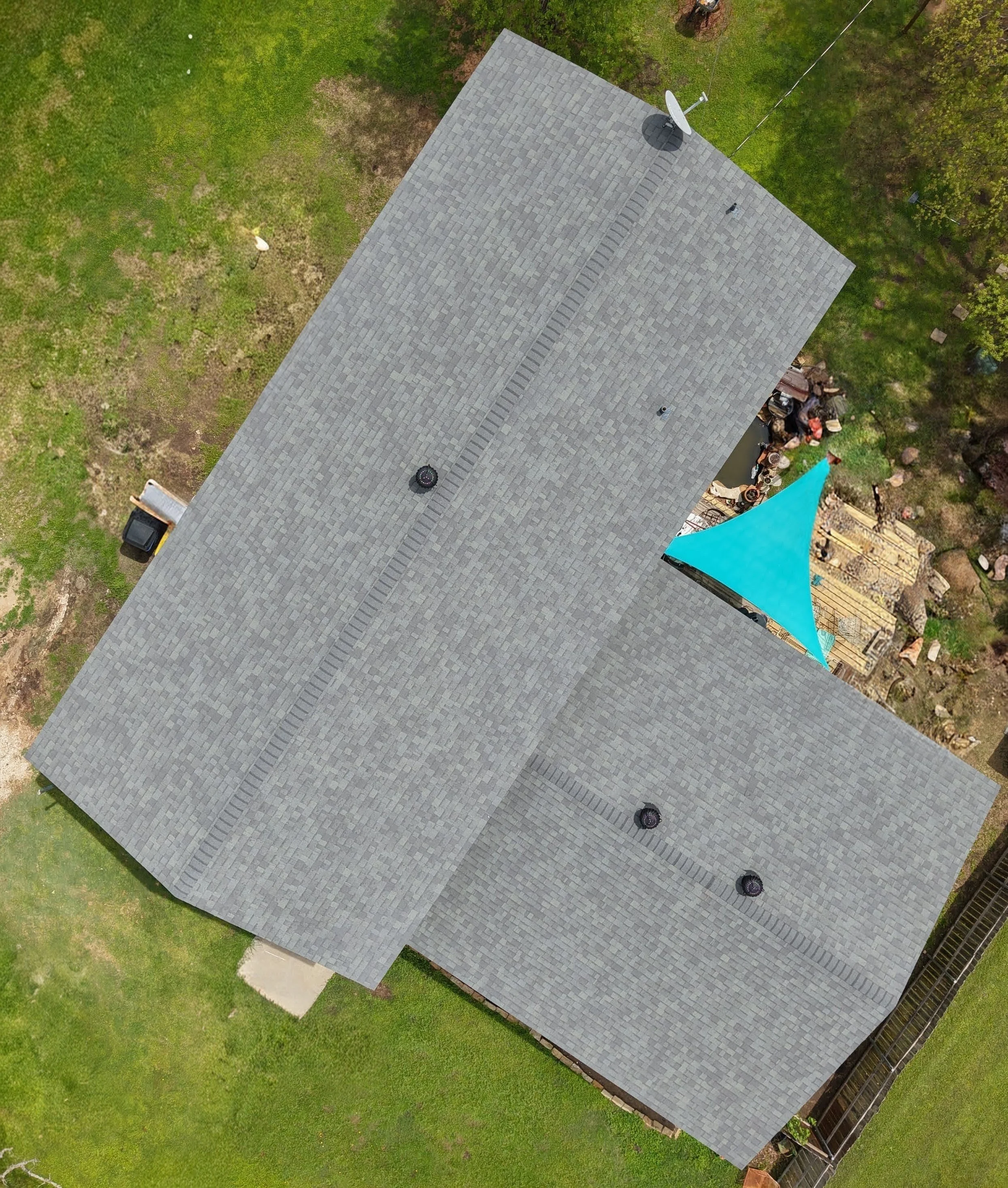
Orthomosaic & 360° Panorama: A GPS verified and time-stamped “birds-eye” view of your entire property.
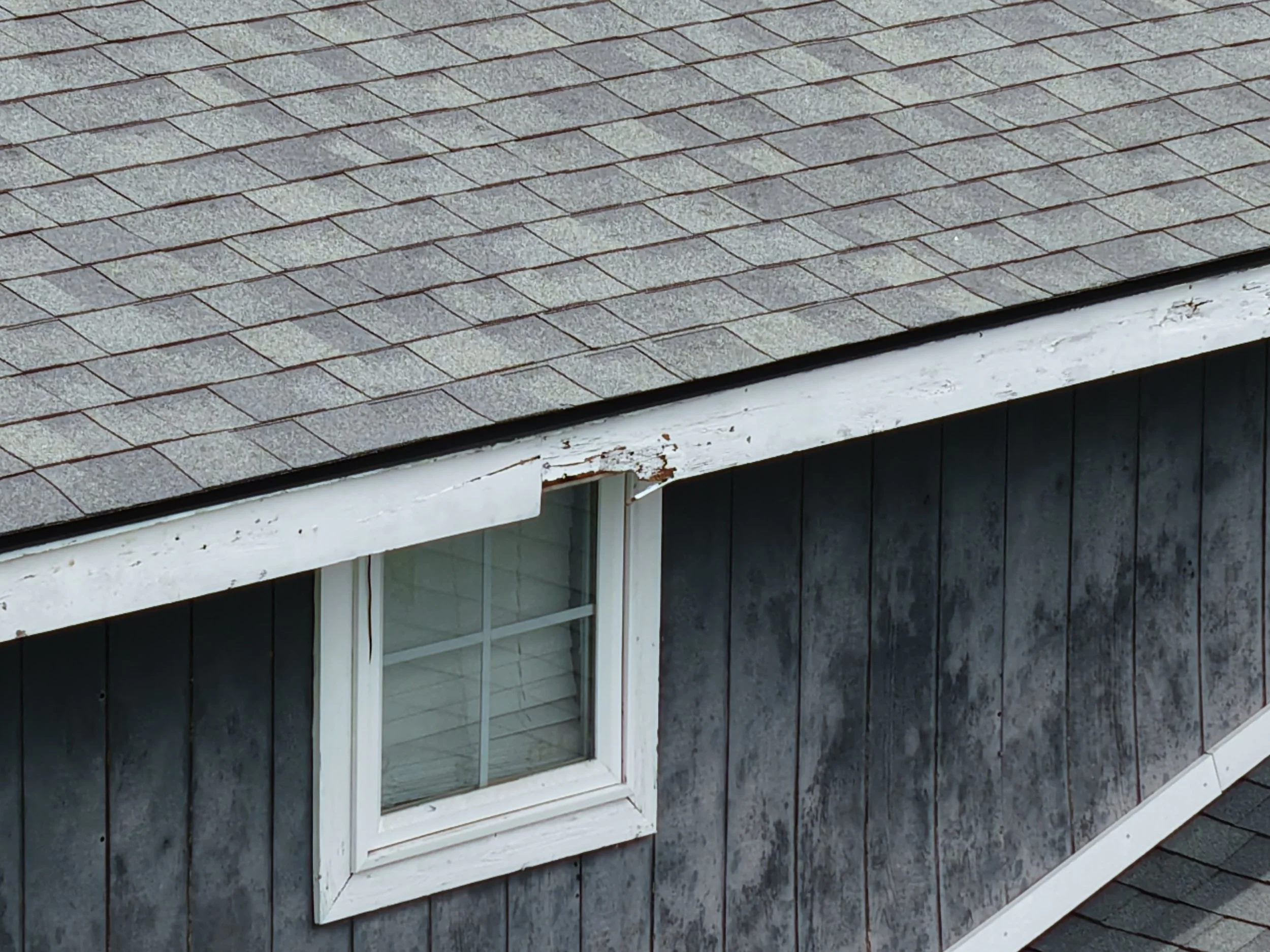
Targeted Documentation: High-resolution captures of critical failure points—valleys, chimneys, and flashing—documented with a level of detail and safety that a man on a ladder simply cannot match.
4K Gutter Sweep: Visual confirmation of debris and drainage issues before they lead to interior water damage or foundation issues.
3D Modeling: Digital asset records for classic vehicles or outbuildings that prove condition and value for private collections, sales, or estate planning.